
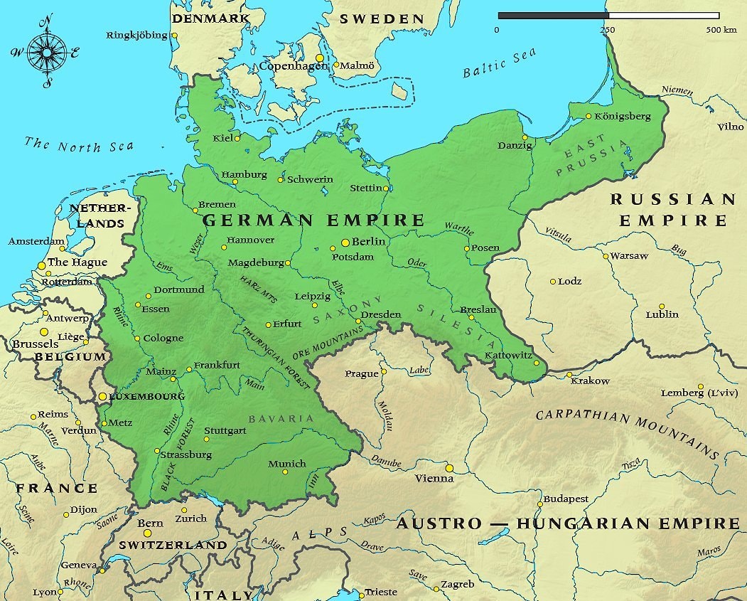
@taikiThe German Empire in 1914 sits right before World War I
Originalbeitrag ansehen@taikiThe German Empire in 1914 sits right before World War I
Originalbeitrag ansehenFoto von @taiki· Oct 11, 2026· News
The image is a map of the German Empire. It shows the borders of the empire in green, with surrounding countries like France, Belgium, the Netherlands, Denmark, Sweden, Russia, and the Austro-Hungarian Empire. Major cities within the German Empire are marked with yellow dots and labeled, such as Berlin, Hamburg, and Munich. The map also highlights geographical features like the Baltic Sea, North Sea, and mountain ranges. The style is informational and cartographic, with a clear, historical aesthetic. A scale bar is visible at the top, indicating distances in kilometers and miles.
 2Walt Red Baron GoFundMe passes $220,000
 2India cancer drug price cuts
 2Siberian man plant growing in eye
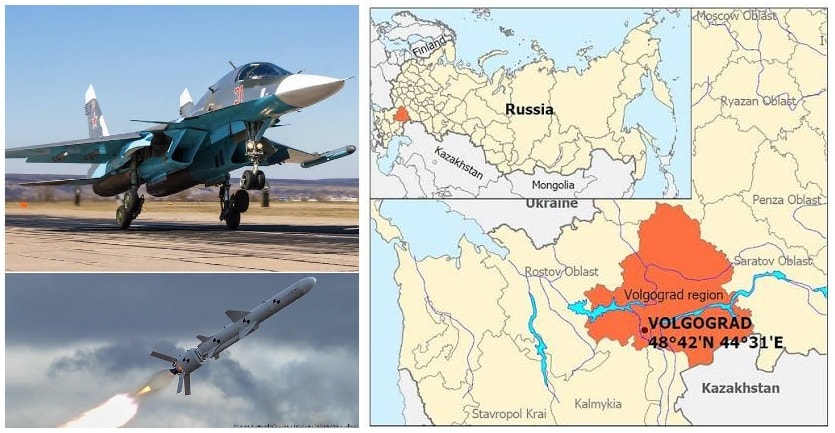 Ukraine Su-34 strike Marinovka Volgograd
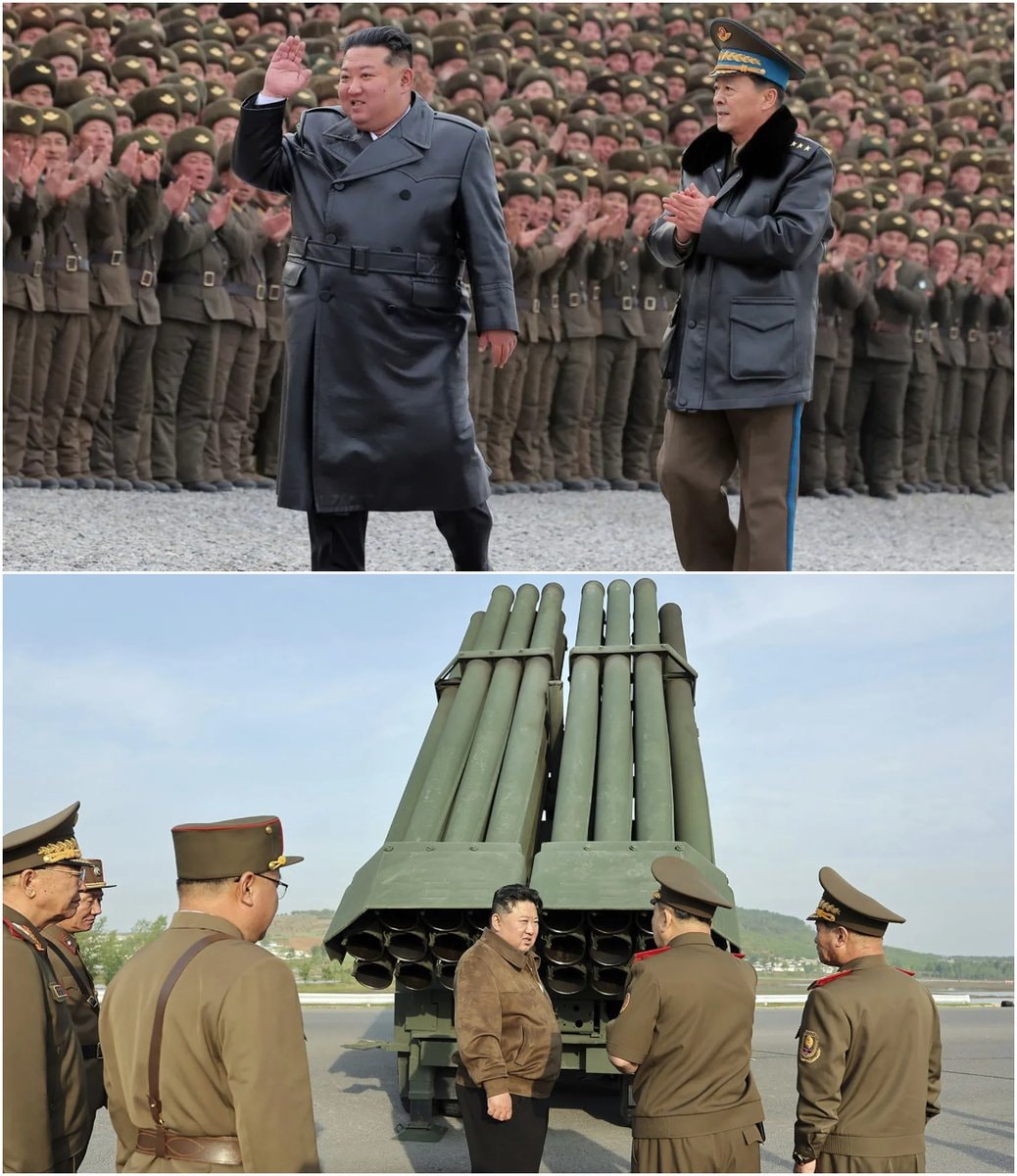 North Korea missile launch toward Sea of Japan
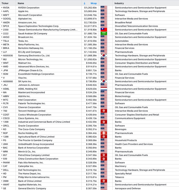 Top 50 companies Michael analysis
 2Jensen Huang on global tech rankings
 Kiarious and Jazmine Hall arrested in Sugar Land
 2American brings cancer drug from China
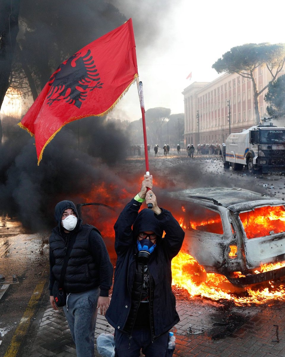 2Albania protest fine $6,000
 2DoorDash buys Instacart
 2Apple touchscreen Macbook launch
 GOOD SMILE COMPANY data breach warning
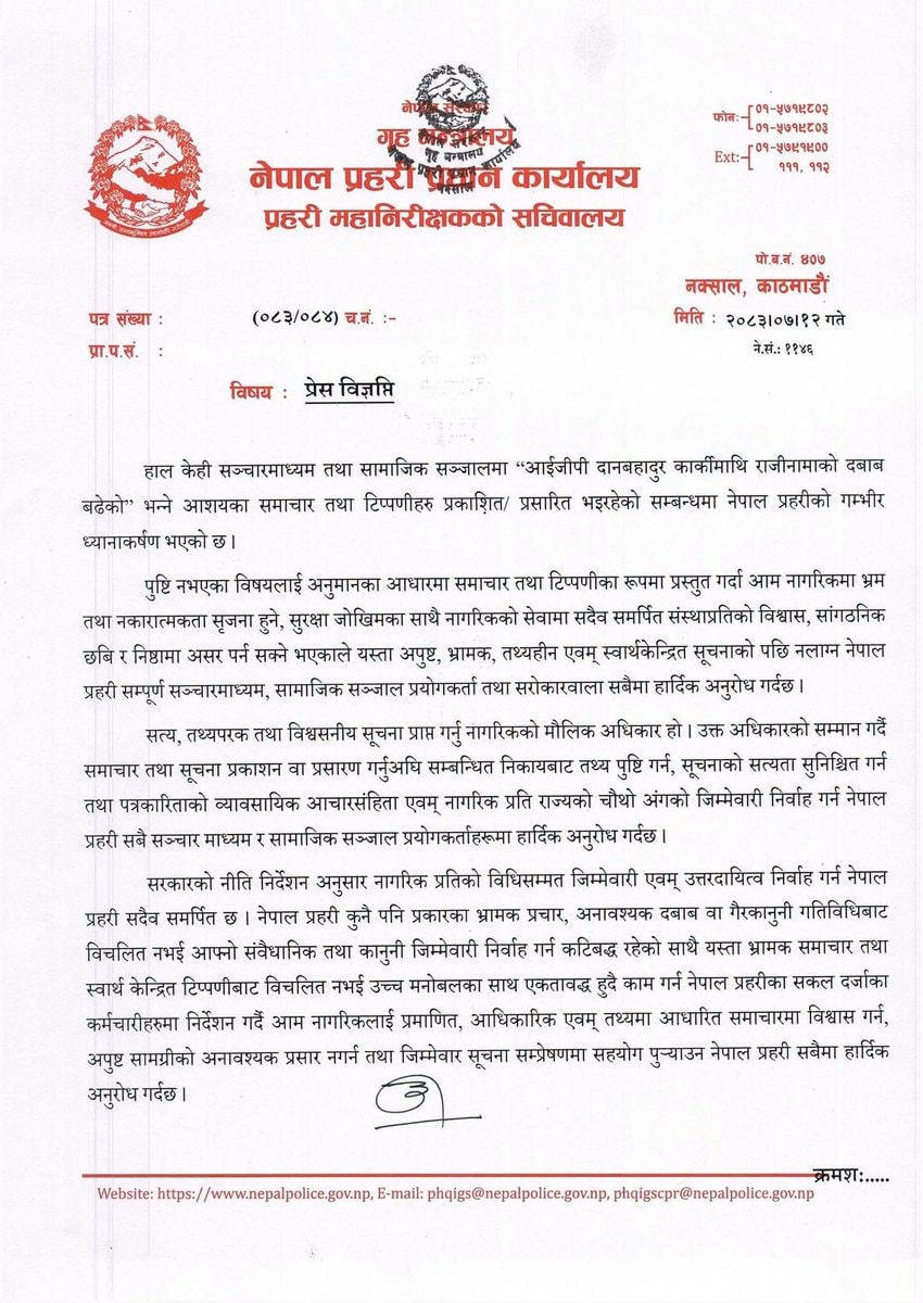 2Nepal Police press release criticism
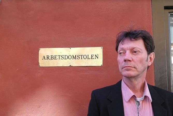 Bernt Herlitz Swedish Migration Agency case
 Fátima Báñez Urda train accident
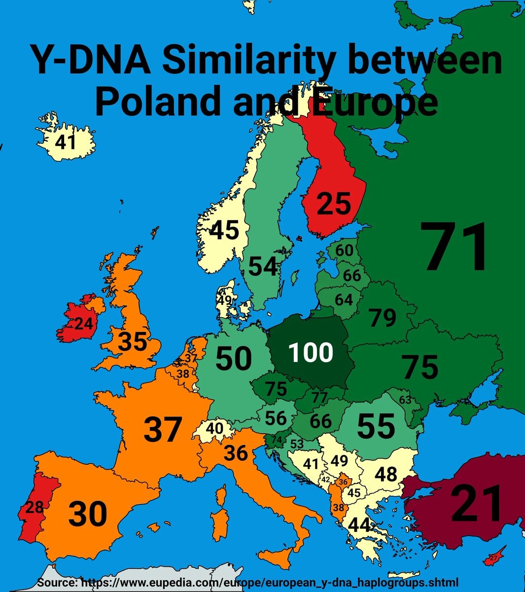 Poland Y-DNA Europe comparison
 The Diplomat season 5 renewal
@taikiThe German Empire in 1914 sits right before World War I
Originalbeitrag ansehenFoto von @taiki· Oct 11, 2026· News
The image is a map of the German Empire. It shows the borders of the empire in green, with surrounding countries like France, Belgium, the Netherlands, Denmark, Sweden, Russia, and the Austro-Hungarian Empire. Major cities within the German Empire are marked with yellow dots and labeled, such as Berlin, Hamburg, and Munich. The map also highlights geographical features like the Baltic Sea, North Sea, and mountain ranges. The style is informational and cartographic, with a clear, historical aesthetic. A scale bar is visible at the top, indicating distances in kilometers and miles.
Noch keine Kommentare. Sei der Erste!
2Walt Red Baron GoFundMe passes $220,0002India cancer drug price cuts2Siberian man plant growing in eyeUkraine Su-34 strike Marinovka VolgogradNorth Korea missile launch toward Sea of JapanTop 50 companies Michael analysis2Jensen Huang on global tech rankingsKiarious and Jazmine Hall arrested in Sugar Land2American brings cancer drug from China2Albania protest fine $6,0002DoorDash buys Instacart2Apple touchscreen Macbook launchGOOD SMILE COMPANY data breach warning2Nepal Police press release criticismBernt Herlitz Swedish Migration Agency caseFátima Báñez Urda train accidentPoland Y-DNA Europe comparisonThe Diplomat season 5 renewal
Noch keine Kommentare. Sei der Erste!