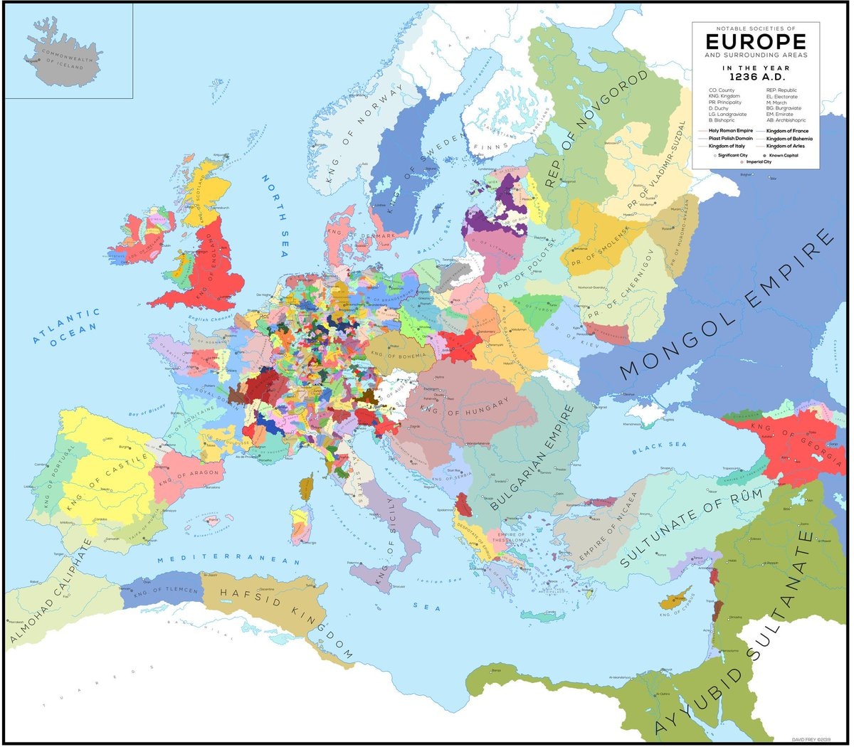
@scarlett_s1236, Europe. Wild to think about what that map actually looked like back then
Originalbeitrag ansehen@scarlett_s1236, Europe. Wild to think about what that map actually looked like back then
Originalbeitrag ansehenFoto von @scarlett_s· Oct 17, 2026· History
The image is a historical map of Europe and surrounding areas in the year 1236 A.D. It displays various kingdoms, principalities, empires, and other political entities with different colors representing each. The map has a clean, educational aesthetic. Notable details include the vastness of the Mongol Empire and the fragmented nature of central Europe. ON-SCREEN TEXT: COMMONWEALTH OF ICELAND, ATLANTIC OCEAN, NORTH SEA, ENGLISH CHANNEL, MEDITERRANEAN SEA, BLACK SEA, NOTABLE SOCIETIES OF EUROPE AND SURROUNDING AREAS IN THE YEAR 1236 A.D., CO County, KNG Kingdom, PR. Principality, REP. Republic, BL. Electorate, BG. Burgraviate, BA. Barony, AB. Archbishopric, Holy Roman Empire, Past Polish Domain, Kingdom of Italy, Kingdom of France, Kingdom of Sicily, Kingdom of Aragon, Kingdom of Castile, Kingdom of Portugal, Kingdom of England, Kingdom of Norway, Kingdom of Sweden, Kingdom of Denmark, Kingdom of Scotland, Kingdom of Ireland
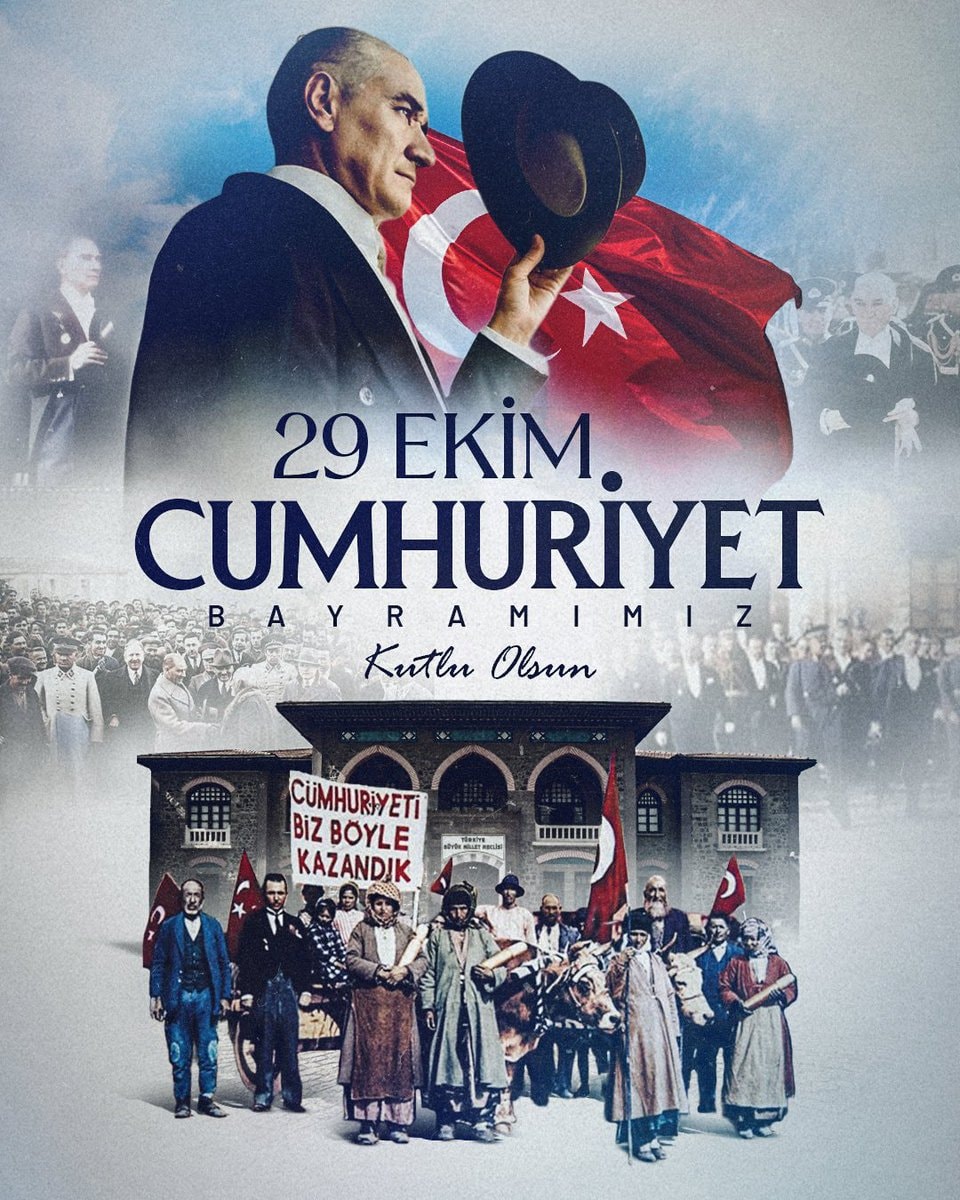 Republic Day October 29
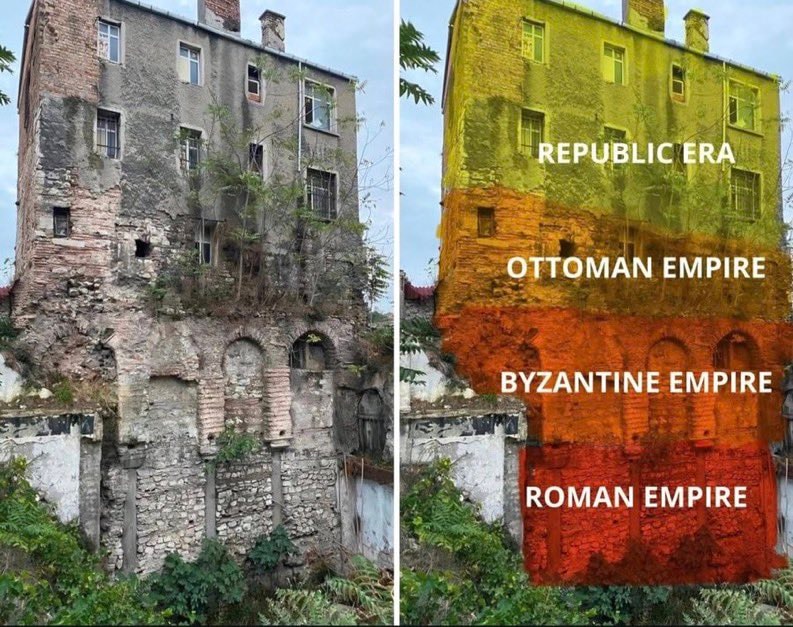 historic building
 Deadliest railway disasters in history
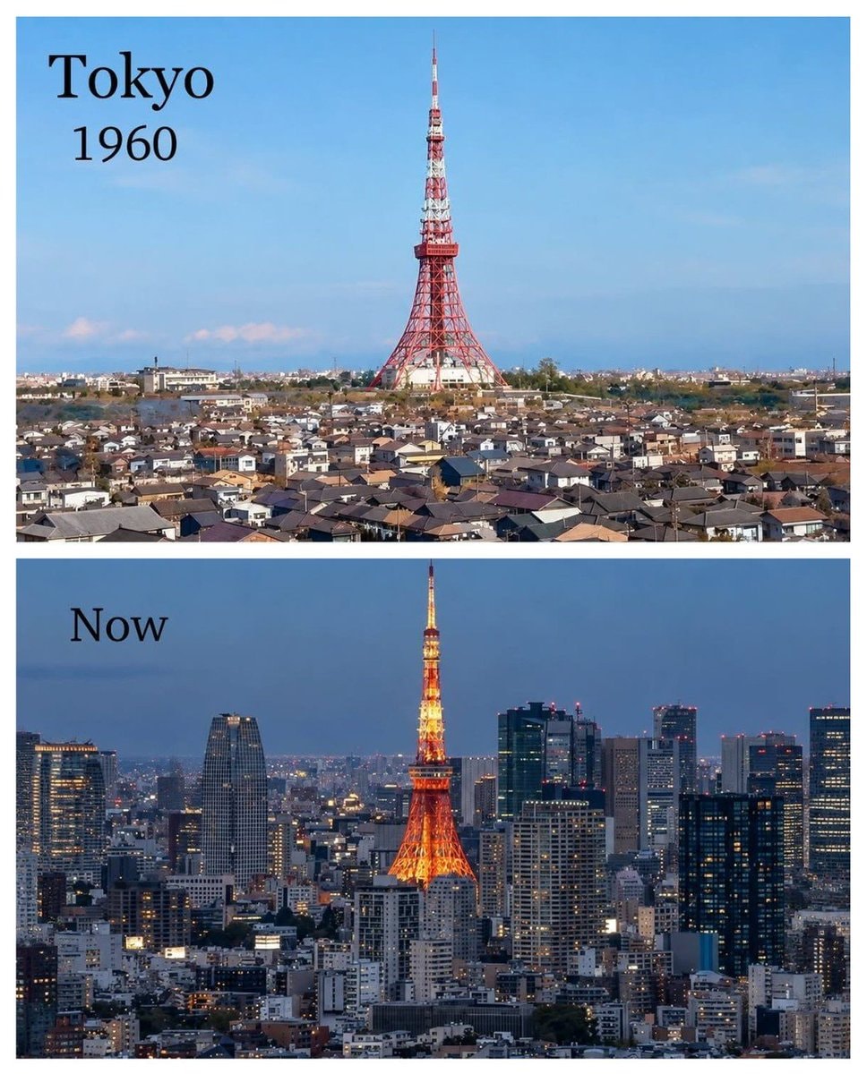 Tokyo 1960 vs present
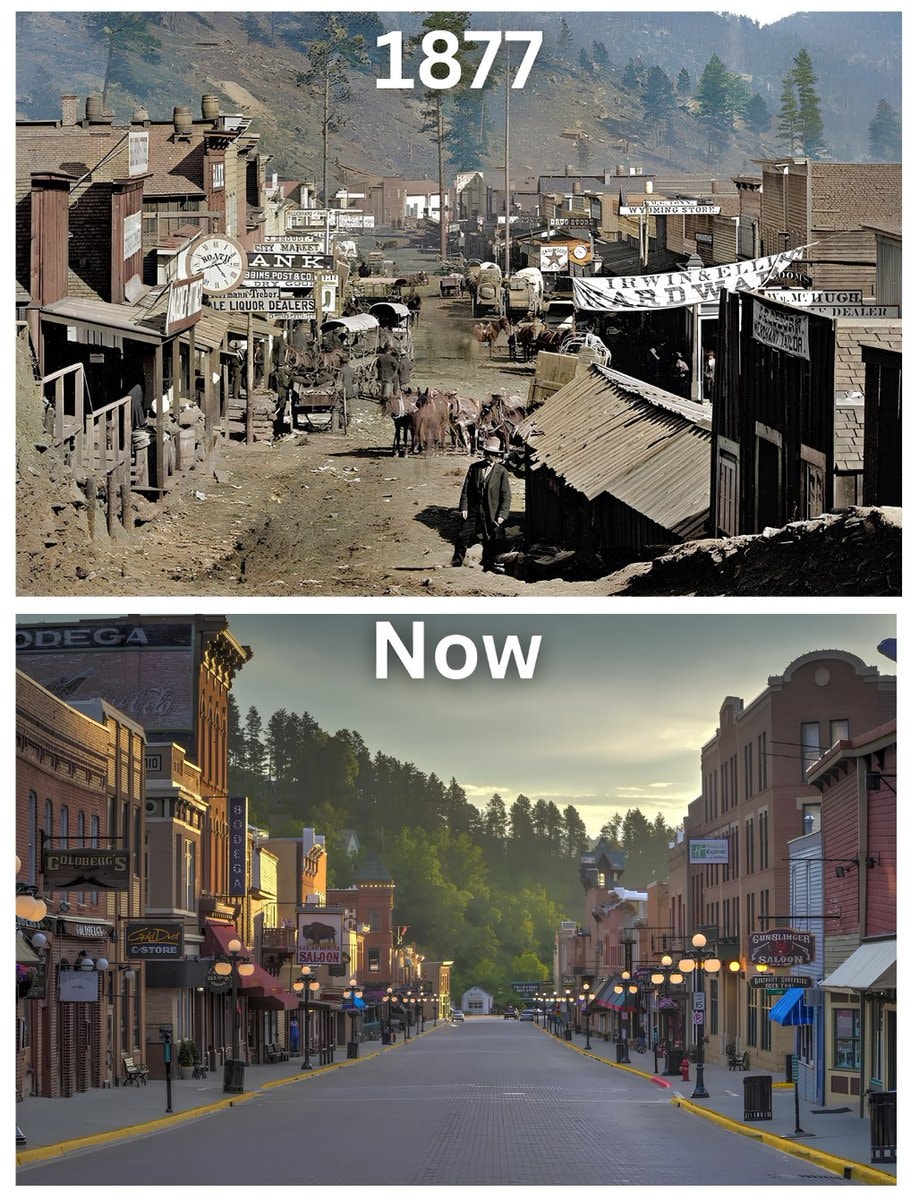 Deadwood South Dakota 1877
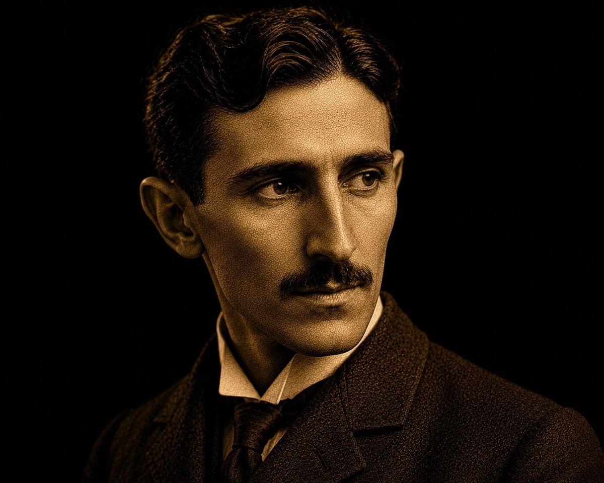 Nikola Tesla quote on power and minds
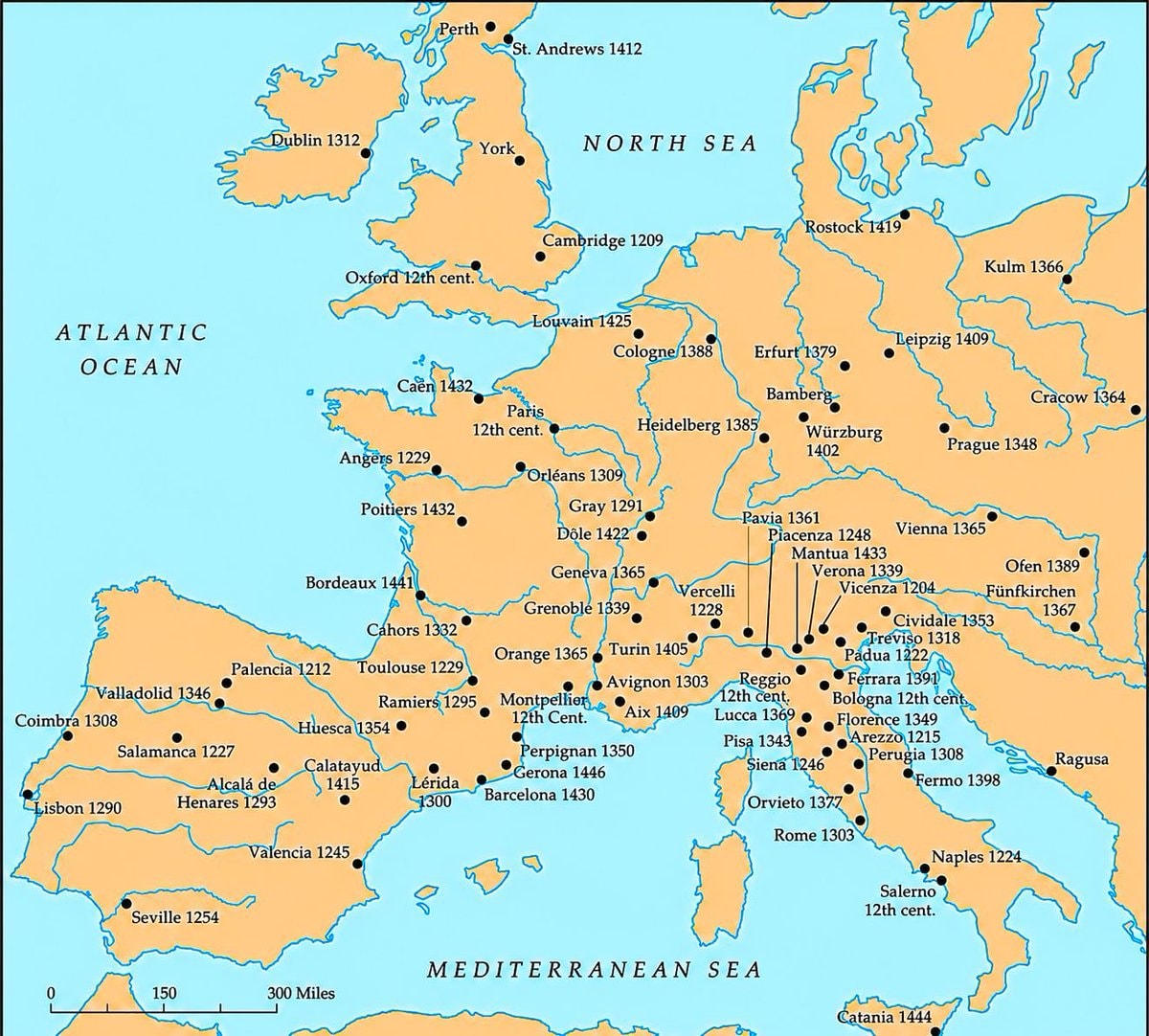 Medieval universities of Europe map
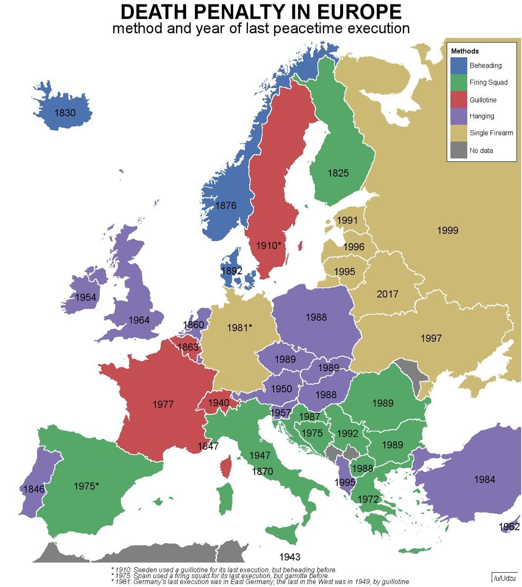 Europe death penalty map
 Amber amulet from Slupsk, Poland
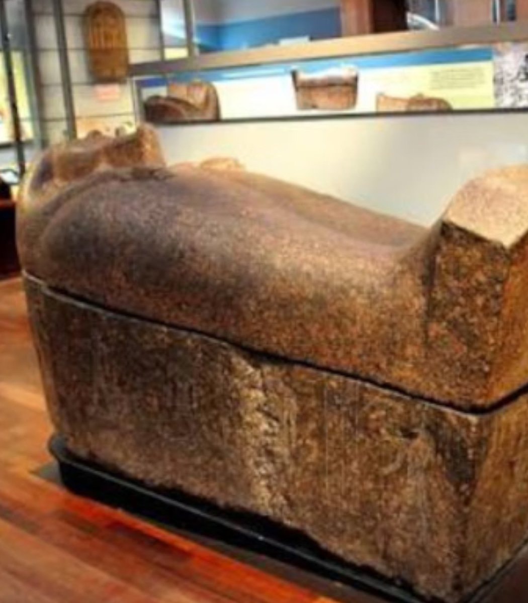 2Scottish museum removes mummies from display
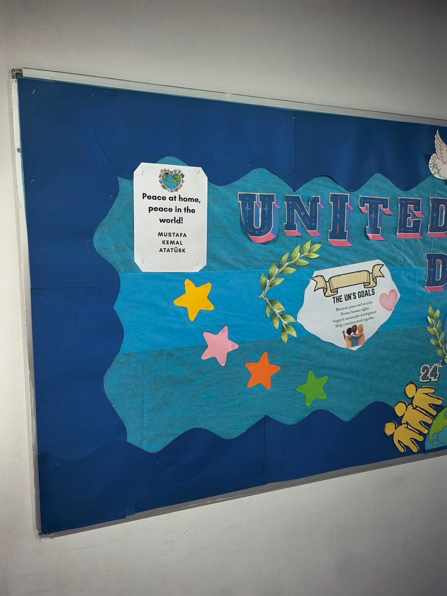 Mustafa Kemal Ataturk peace quote
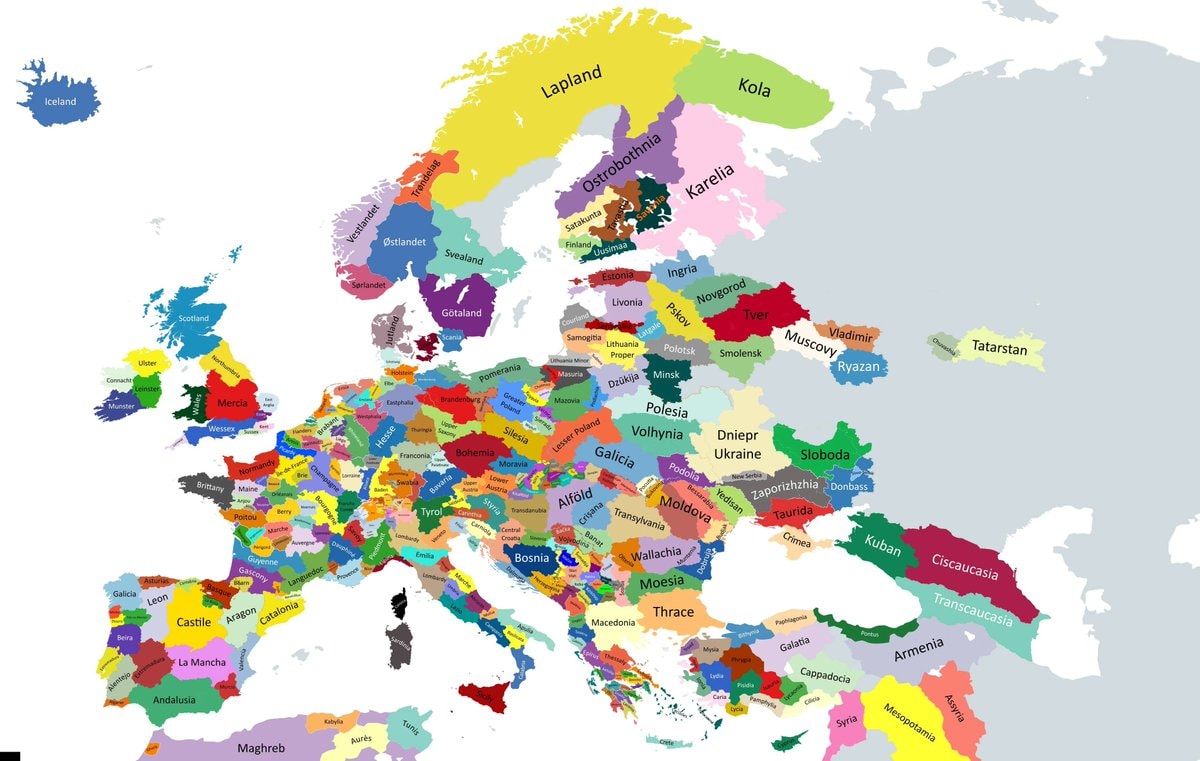 Historical regions of Europe map
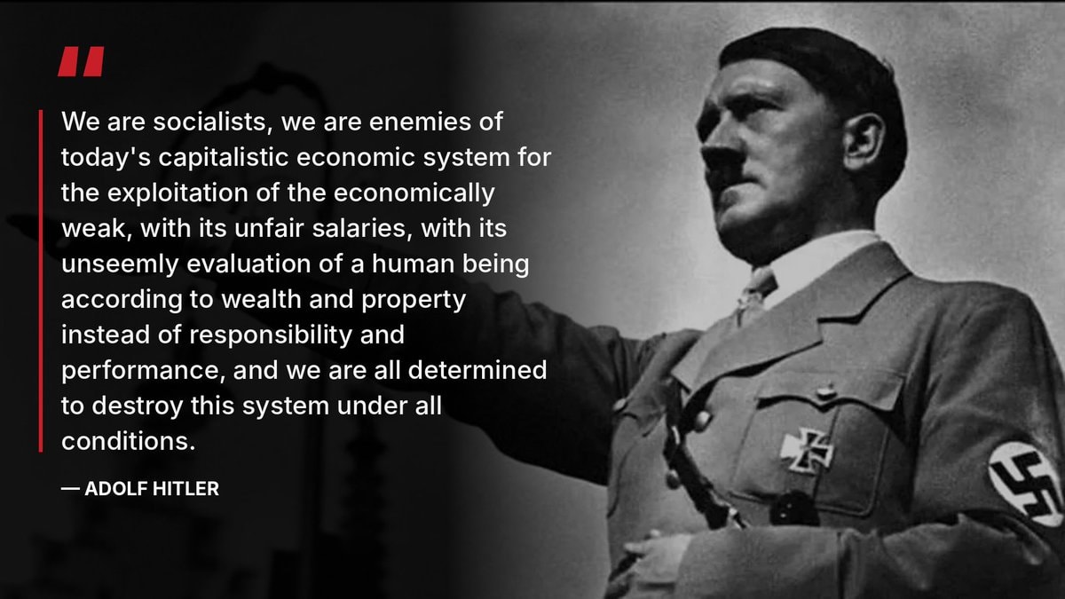 Oliver on Hitler and socialism
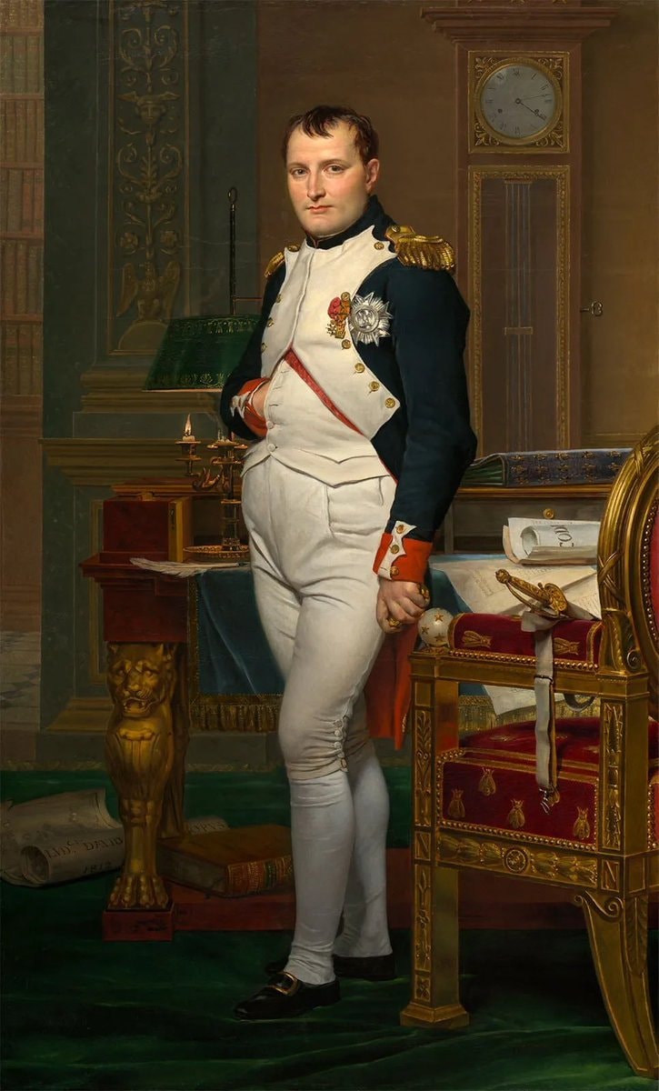 2Napoleon Bonaparte and the dinosaurs
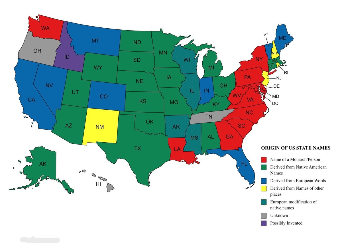 Origins of US state names map
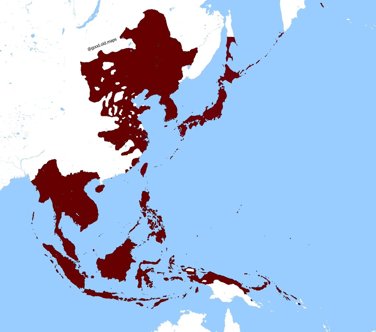 Empire of Japan territorial extent January 1943
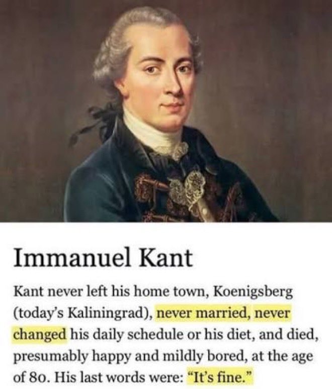 Immanuel Kant portrait
 Greatest movies ever debate
@scarlett_s1236, Europe. Wild to think about what that map actually looked like back then
Originalbeitrag ansehenFoto von @scarlett_s· Oct 17, 2026· History
The image is a historical map of Europe and surrounding areas in the year 1236 A.D. It displays various kingdoms, principalities, empires, and other political entities with different colors representing each. The map has a clean, educational aesthetic. Notable details include the vastness of the Mongol Empire and the fragmented nature of central Europe. ON-SCREEN TEXT: COMMONWEALTH OF ICELAND, ATLANTIC OCEAN, NORTH SEA, ENGLISH CHANNEL, MEDITERRANEAN SEA, BLACK SEA, NOTABLE SOCIETIES OF EUROPE AND SURROUNDING AREAS IN THE YEAR 1236 A.D., CO County, KNG Kingdom, PR. Principality, REP. Republic, BL. Electorate, BG. Burgraviate, BA. Barony, AB. Archbishopric, Holy Roman Empire, Past Polish Domain, Kingdom of Italy, Kingdom of France, Kingdom of Sicily, Kingdom of Aragon, Kingdom of Castile, Kingdom of Portugal, Kingdom of England, Kingdom of Norway, Kingdom of Sweden, Kingdom of Denmark, Kingdom of Scotland, Kingdom of Ireland
Republic Day October 29historic buildingDeadliest railway disasters in historyTokyo 1960 vs presentDeadwood South Dakota 1877Nikola Tesla quote on power and mindsMedieval universities of Europe mapEurope death penalty mapAmber amulet from Slupsk, Poland2Scottish museum removes mummies from displayMustafa Kemal Ataturk peace quoteHistorical regions of Europe mapOliver on Hitler and socialism2Napoleon Bonaparte and the dinosaursOrigins of US state names mapEmpire of Japan territorial extent January 1943Immanuel Kant portraitGreatest movies ever debate